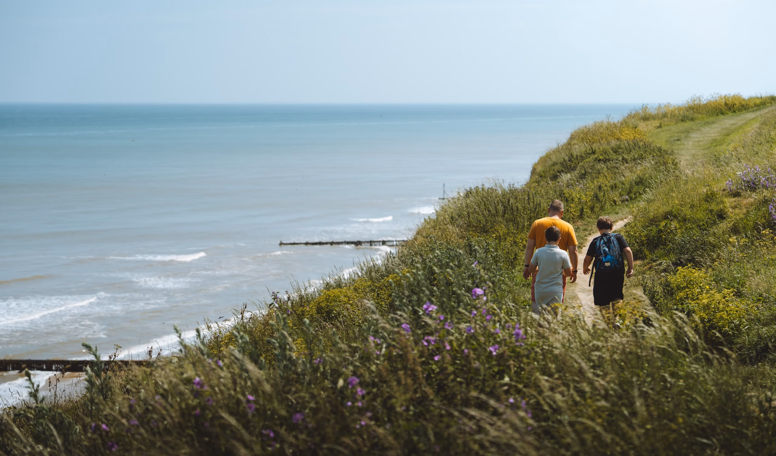
Norfolk Coast Path
This forms part of the Peddars Way & Norfolk Coast Path National Trail.
From the west…
The Norfolk Coast Path stretches for 112 miles, tracing the entire Norfolk coastline between its borders with Lincolnshire and Suffolk.
The western stretch takes in Hunstanton’s striking red and white cliffs, rockpools and shipwrecks, and passes by site of the mysterious Seahenge discovery at Holme Dunes.
At RSPB Titchwell, nature takes centre stage, where you can spot rare birds and marvel at migratory flocks. Further on, the pine woods and endless sandy shores of Holkham and Wells-next-the-Sea offer a perfect spot to explore, rest and refuel.
…to the east
Heading further east, a boat trip from Blakeney is the best way to spot seals in their natural habitat, and to enjoy sweeping views of the saltmarshes at Cley and Salthouse.
Visitors love to delve into ancient history at the Deep History Coast and uncover the fascinating story of the West Runton Mammoth – one of the most complete mammoth skeletons ever found in the UK.
The buzz of the traditional seaside towns of Sheringham, Cromer and Great Yarmouth offer a mix of nostalgia and excitement. Between them, you’ll find heritage steam trains, a Victorian Pier and art deco promenade, and a rare wooden roller coaster, one of only seven in the world.
This route forms part of the Peddars Way & Norfolk Coast Path National Trail.
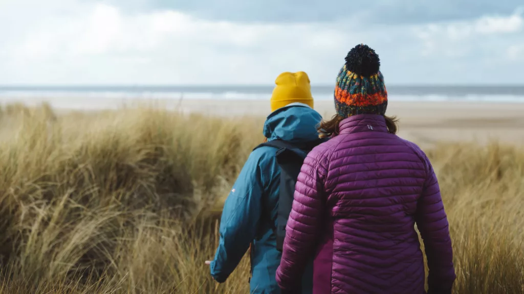
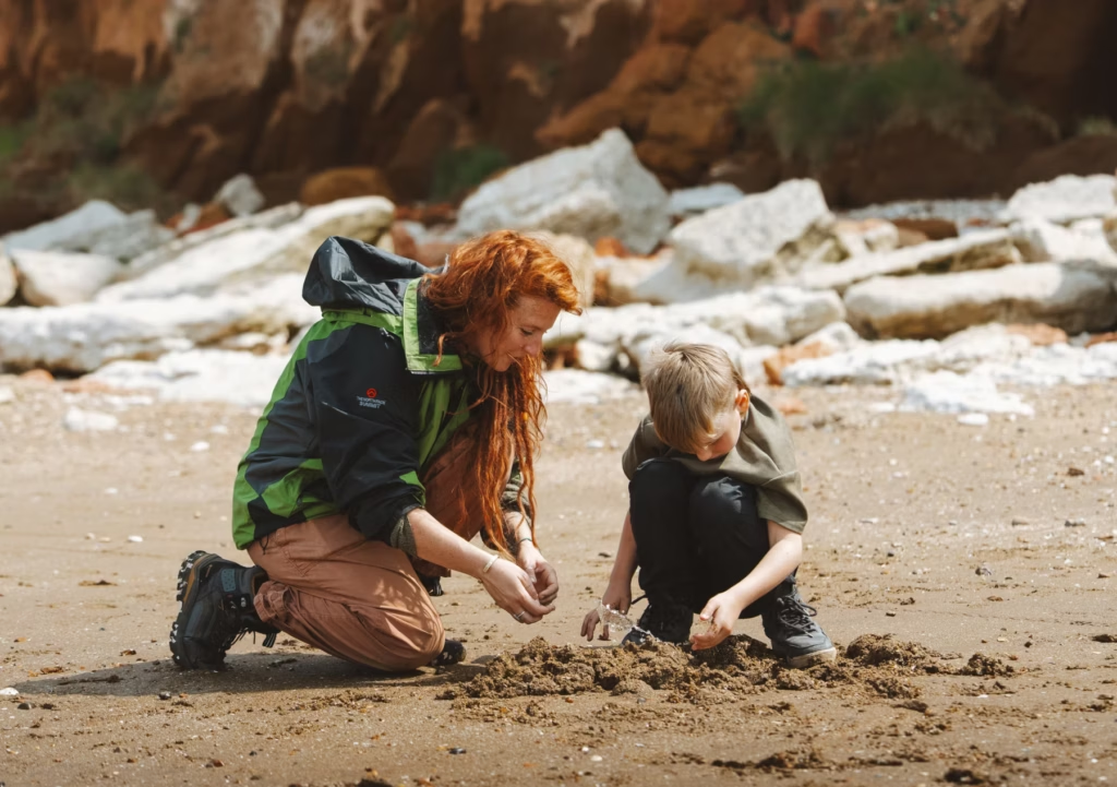
Walking & cycling
Experience the coast on foot or by bike to discover hidden gems.
Sutton Bridge to King’s Lynn
From Sutton Bridge it’s a wild and remote journey following the River Nene to the coast for your first glimpse of one of the highlights of this beautiful walk.
The Wash National Nature Reserve, at 8,800 acres (3,560 ha) is England’s largest. Birders will want to have their binoculars at the ready to spot the many species that live or overwinter here.
The walk heads inland along the Great River Ouse to King’s Lynn, with its vibrant quayside and maritime flair. Once England’s most important port, the town’s cobbled streets, marketplaces, historic buildings, museums and places to eat are well worth exploring.
King’s Lynn to Hunstanton
After leaving King’s Lynn, you head north through RSPB Snettisham, which is a delight for birdwatchers. Its brackish lagoons, mudflats and saltmarsh attracts many species. Winter is the time to watch the thousands of pink-footed geese that arrive here from Iceland and Greenland, while autumn is a great time to spot waders gathering to roost on the mudflats.
The route then takes you to discover the beautiful beaches of Heacham and Hunstanton. The west-facing beaches here are renowned for their beautiful sunsets and are the only places in Norfolk where you can watch the sun sink beneath the sea.
Affectionately known as ‘Sunny Hunny’, Hunstanton is a popular seaside town notable for its striped cliffs due to older reddish limestone being topped by a layer of chalk.
Hunstanton to Burnham Overy Staithe
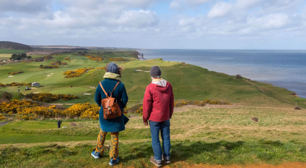
This leg boasts a heady mix of charming coastline, golden beaches, wildlife-rich marshes, immense skies, small harbours and flint villages. Here you are deep within Norfolk Coast National Landscape, which is internationally renowned for its wildlife. Keep a lookout for flights of pink-footed geese and even breeding seals.
From this stretch of trail, you are afforded terrific views that stretch over the Lincolnshire coast and the Wolds National Landscape beyond. Holmes Dunes Nature Reserve is a particular highlight on this leg as it is perfectly positioned for viewing migrating birds and spotting all manner of other wildlife.
The stage finishes in Burnham Overy Staithe, with more food and accommodation options in nearby Burnham Market.
Burnham Overy Staithe to Blakeney
The remote beauty of the Norfolk coastline never leaves you on this stage. From Burnham Overy, continue west along the coast, marvelling at the wonder of the beach, sand dunes, saltmarsh and pine woods that form part of Holkham National Nature Reserve.
A few miles later, you arrive in Wells-next-the-Sea, one of the most attractive towns on the North Norfolk Coast. With a glorious sweeping beach, bordered by pine woodland, and a gentle harbour with small fishing boats.
The final leg of the day crosses the peculiarly-named Cabbage Creek; an expanse of salt marsh that provides a perfect habitat for an array of wildlife, before finishing in Blakeney.
Blakeney to Sheringham
Salt marshes, coastal views and abundant wildlife make up this stage. It’s a bird-watching-mecca that is home to many species, including marsh harrier, redshank, oystercatcher, lapwing, sandwich tern and pink-footed goose.
From Blakeney, you step straight onto Blakeney Marshes; a vast expanse of freshwater grazing marshes and an important habitat for all sorts of wildlife, from otters and voles to Brent geese and avocet.
Next, pass the 18th-century Cley Windmill, and then hike around Cley Marshes, one of the oldest nature reserves in the country. Hiking here affords the opportunity to explore both coastal and wetland habitats and is especially good for birdwatching.
Continue on to the charming seaside town of Sheringham.
Sheringham to Mundesley
From Sheringham, begin by climbing Beeston Hill, known locally as ‘the bump’, where you are afforded magnificent views over the sea and countryside.
As you approach Cromer you’ll notice the impressive Grade II-listed pier. The path then climbs towards the lighthouse before dropping down onto the beach. This stretch is passable in all but the highest seasonal tides but best attempted during mid and low tide, when the sand is hard underfoot. See tide times: tidetimes.org.uk/cromer-tide-times.
At Overstrand, the route returns to the clifftops and meanders through patchwork fields and peaceful woodland. From the top of the hill outside Sidestrand, the coast falls away from you, revealing much of the trail ahead. The landslides along this stretch of coast reveal usually-hidden geology. Take care to keep back from the crumbling cliff edges, though.
Mundesley to Sea Palling
From Mundesley, the path returns to the beach. Unlike the section between Cromer and Overstrand, however, this section cannot be completed at high tide.
Be sure to check tidal information carefully before undertaking this section as tidal surges are common: magicseaweed.com/Mundesley-Surf-Report/1397/Tide. The route then follows the sandy beach to Bacton then to Walcott, where the path rises onto the cliffs.
At Happisburgh, it’s worth making a detour inland to check out the red-and-white-striped lighthouse. Built in 1790, it is the oldest working light in the region.
As you reach Sea Palling, you’re rewarded with one of Norfolk’s hidden gems – a beautiful beach, perfect for unwinding after a day’s walking.
Sea Palling to Caister-on-Sea
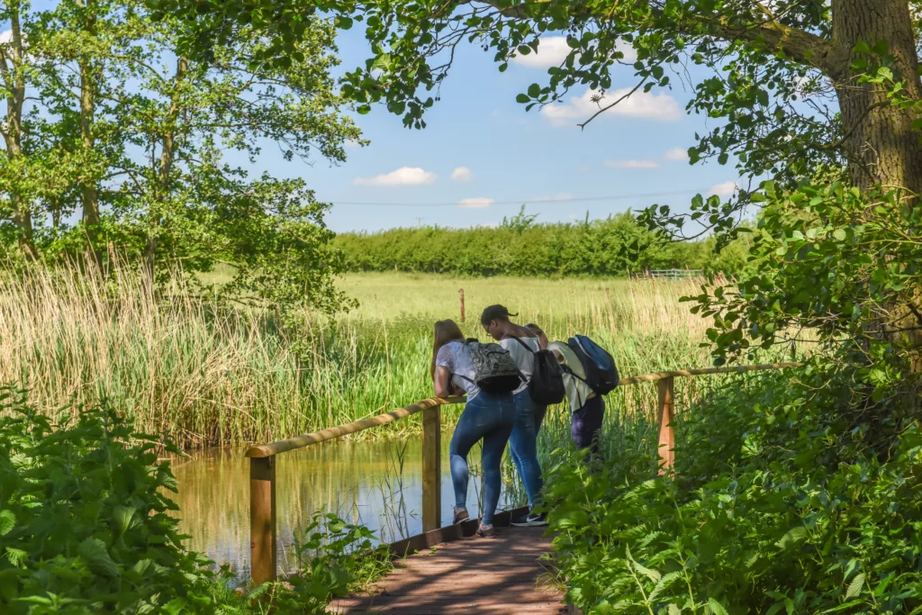
From Sea Palling, the trail winds through grassland, scrub, woodland and blackthorn thickets.
After rising from the dunes at Poplar Farm, you are afforded wonderful views, before descending and winding through tall sand dunes and grazing marsh. At this point, you pass the grey seal colony, where hundreds of seals come ashore to breed to create a true spectacle between November and February.
At Winterton Ness, the path rises to offer magnificent panoramic views. As you hike onto the beaches of Hemsby, California and Scratby, sandstone cliffs replace the dunes. At higher tides, an alternative route is way-marked. From California, it’s a brief stroll inland to Caister-on-Sea, which has places to stay and options for food and drink.
Caister-on-Sea to Hopton-on-Sea
As you leave Caister-on-Sea, the route enters Great Yarmouth North Denes Site of Special Scientific Interest, which supports almost 10% of all Britain’s breeding little tern colonies.
Shortly after, you reach Great Yarmouth, a bustling seaside destination famous for its long and pristine beach. Beyond the ‘Golden Mile’, Gorleston Quay lets you see the workings of a modern port up close.
From this industrial giant, you arrive on Gorleston Beach in order to soak in the magic of this route for the last time (in the case of high tides, there is a way-marked alternative route).
Your arrival at Hopton-on-Sea marks the end of the National Trail!